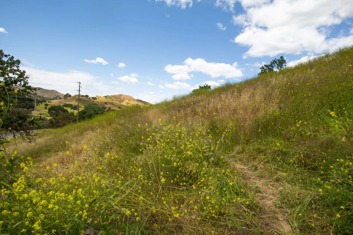
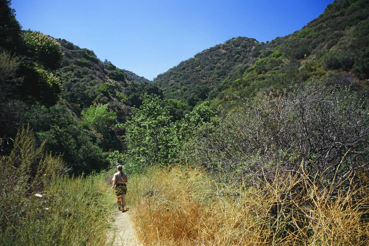
Sandstone Peak, Mount Hollywood, the Point Mugu coast and Vasquez Rocks. Twenty hikes with the view worth the climb, plus distance, parking and what is open after the fires.
By LA Today·Updated Nov 2, 2026 Verified November 2026
The short answer
Sandstone Peak is the most scenic hike in the LA area, a 6-mile loop to the top of the Santa Monica Mountains with the Channel Islands offshore. For the city view, climb Mount Hollywood from Griffith Observatory. For the ocean, take the Ray Miller Trail at Point Mugu or the bluffs of Point Dume. For something that looks like another planet, go to Vasquez Rocks. Most of these cost nothing or a $12 parking fee.
Every trail here was checked against its park agency's own page in early November 2026, including which ones the 2025 fires closed and which have reopened. One rule now covers most of the Santa Monica Mountains: since October 15, 2026, State Parks, the National Park Service and the MRCA close their parks on Red Flag Warning days, usually announced the day before. Check before you drive.
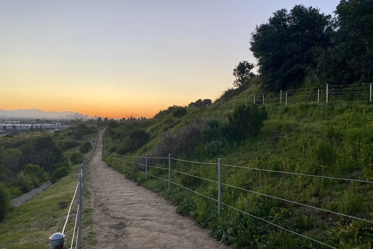
Four climbs where the payoff is the whole basin at once.
01
Sandstone Peak
Malibu · 6.1 mi loop · Moderate to strenuous
Free parking6.1 mi loopabout 1,100 ft
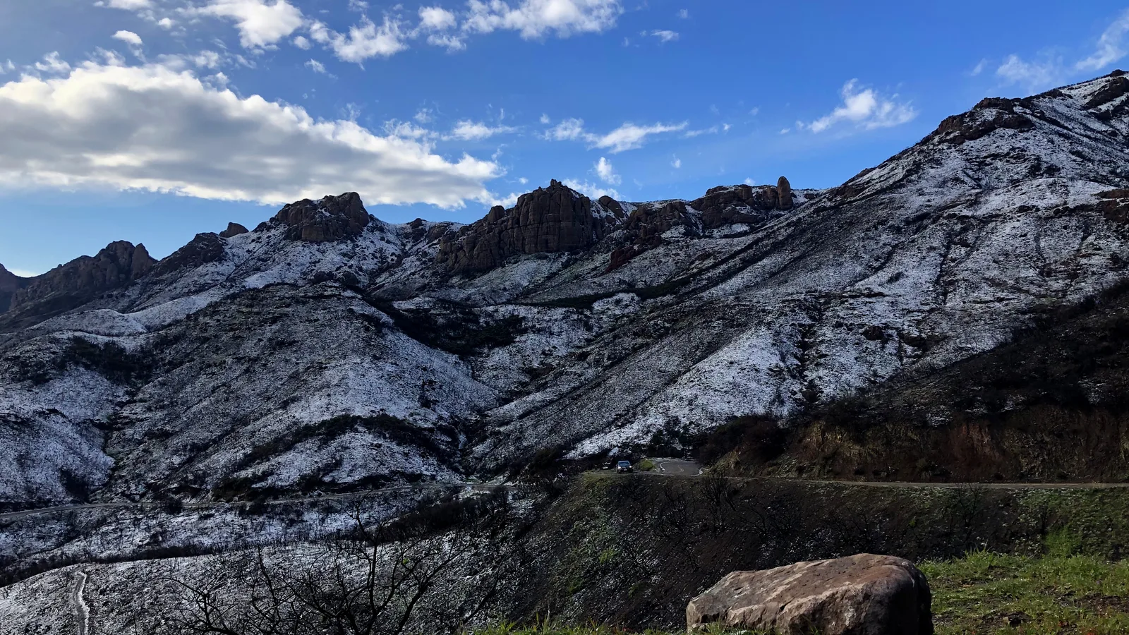
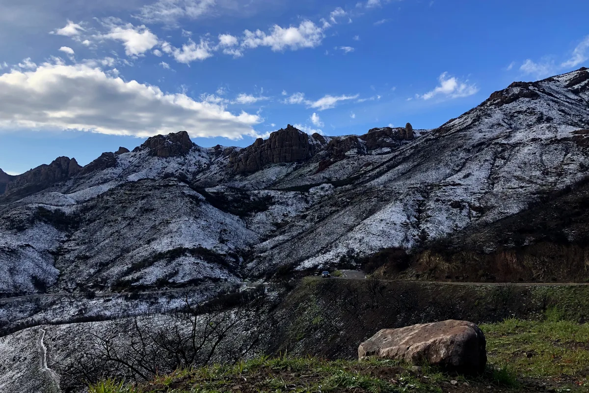
The highest point in the Santa Monica Mountains, at 3,111 feet. The loop from the Circle X Ranch trailhead on Yerba Buena Road climbs the Mishe Mokwa Trail past Balanced Rock, Split Rock and the Echo Cliffs, tops out on the summit block, and drops back on the Backbone Trail.
On a clear day the view runs from the Channel Islands across the Oxnard Plain to the open Pacific. Parking is in free dirt lots and leashed dogs are allowed.
Insider tip. Go counterclockwise, up Mishe Mokwa first, so the rock formations come early and the summit lands as the finale. Pack a layer; the top is windy and cold on overcast days.
Angeles National Forest · 7.5 mi round trip · Strenuous
Adventure Pass7.5 mi round tripabout 1,500 ft
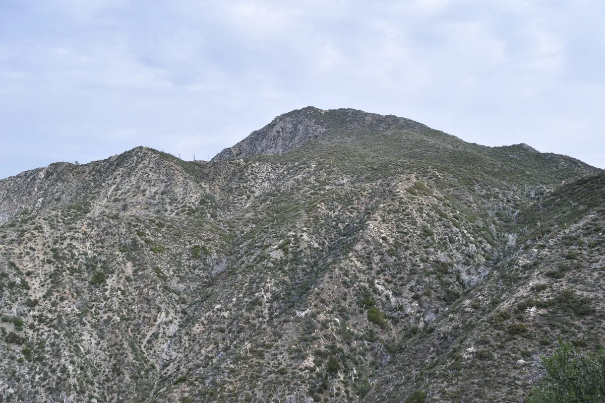
The tallest peak in the San Gabriels' front range, reached from the Red Box Picnic Area on the Angeles Crest Highway, about 14 miles up from the 210 in La Cañada Flintridge. The trail contours to Lawlor Saddle, then follows the ridge to the top.
The summit looks north to Mount Baldy and down into Big Tujunga, with downtown LA on the far side. Parking at Red Box needs a National Forest Adventure Pass, $5 a day or $30 a year.
Insider tip. Wear long pants for the brush in the old Station Fire scar and carry a map; the ridge is easy to lose. Check Caltrans QuickMap for Highway 2 before you drive, since the road is closed farther east.
Griffith Park · About 2.5 to 3 mi loop · Easy to moderate
Paid parkingAbout 2.5 to 3 mi loopabout 500 ft
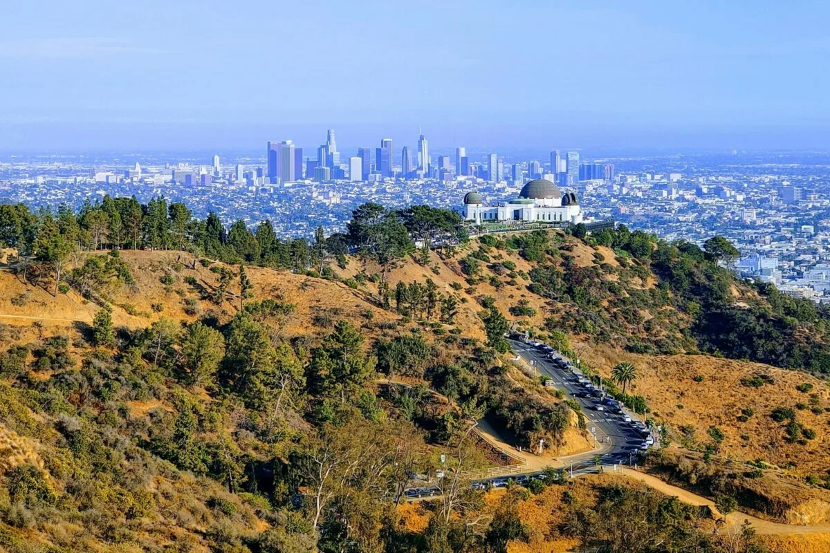
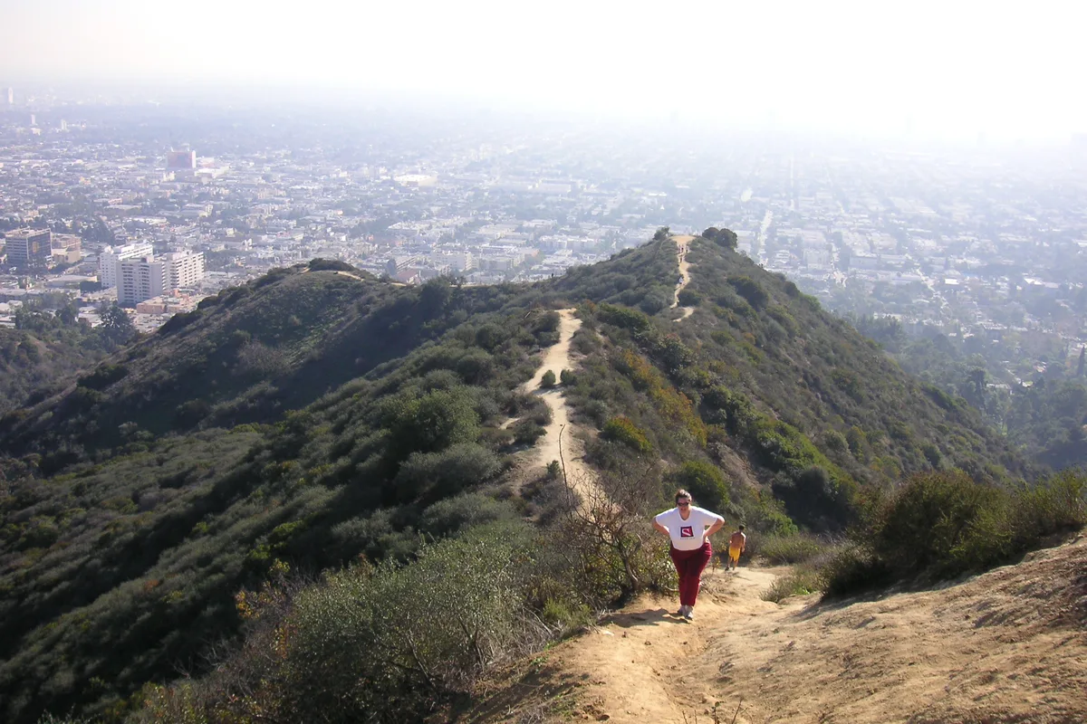
Start at the Charlie Turner Trailhead at the north end of the Griffith Observatory lot, pass Berlin Forest and Dante's View, and finish on the 1,625-foot summit.
It is a full 360: the Hollywood Sign, the Observatory dome, the downtown towers and, on clear days, the ocean. Leashed dogs are welcome. Griffith Park trails close at dusk.
Insider tip. Observatory parking is card only, with pay hours from noon on weekdays and 10am on weekends. Start before that and the meter has not begun. The DASH Observatory bus from Vermont and Sunset is the no-parking option.
From Trippet Ranch, take the Eagle Springs Fire Road to the Eagle Rock Fire Road and scramble onto a sandstone summit pocked with wind caves. Return on the Musch Trail, a quiet single track through the oaks.
The rock looks out over the Santa Monica Mountains toward the bay and the valley. The Trippet Ranch lot is $10 and opens at 8am. Dogs are not allowed on Topanga's trails.
Insider tip. These trails are open under State Parks' current Topanga order, but expect burn scar from the Palisades Fire. Do the loop clockwise, fire road up and Musch Trail down.
The Malibu coast from above, five ways, from a 3,000-foot ridge to a headland you can walk in sandals.
05
Ray Miller Trail
Point Mugu State Park · 5.5 mi round trip · Moderate
$12 parking5.5 mi round tripabout 1,000 ft
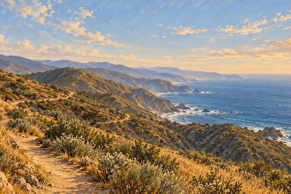
The first and last miles of the Backbone Trail, switchbacking up from the La Jolla Canyon day-use area off PCH. Turn around at the Overlook Fire Road junction.
The ocean is in view almost the entire climb, with the Channel Islands offshore on clear days. Day-use parking is $12, or $3 an hour. Dogs are not allowed on the trail.
Insider tip. State Parks has shut off the water at the La Jolla day-use area, so bring all of yours. There is no shade; start early.
Free 2-hr parkingAbout 1 mi of bluff trailsShort climbs
A short loop over the headland of Point Dume State Beach and Natural Preserve, with rocky coves below and the whole sweep of Santa Monica Bay ahead.
It is one of the best places in LA to watch gray whales during their December to mid-April migration. Stay on the marked trails; the rest of the preserve is off-limits.
Insider tip. Use the free two-hour parking at the top. LA County has closed Westward Beach Road past the pay gate to cars for erosion repairs, so the beach lot below is out.
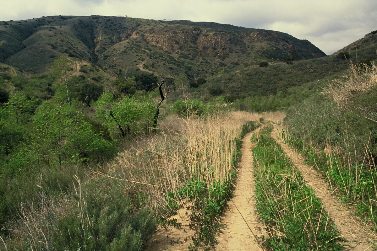
One of the last undeveloped canyons that runs all the way to the sea. The loop starts at the Sara Wan Trailhead on PCH, climbs the ridge and drops back along the creek.
From the top the Malibu coastline stretches in both directions. The lot is $12 and leashed dogs are welcome.
Insider tip. There is little shade and the grass gets tall, so wear long pants. Pulling back onto PCH is a blind merge; take it slow.
Climb the Rising Sun Trail along the canyon's east ridge for ocean views, then drop to a waterfall and the stone ruins of the Roberts Ranch house, and walk out on the shaded Solstice Canyon Trail.
The trailhead is a quarter mile up Corral Canyon Road from PCH. Parking is free but limited, and cars in the road's striped zone get towed.
Insider tip. Leashed dogs are allowed on the trails but not at the waterfall. The falls run strongest after winter rain; in a dry fall they are a trickle.
$12 parkingAbout 3.5 to 4 mi round tripabout 200 ft
A walk up paved Winding Way from the PCH lot, then about a mile of trail with creek crossings to the base of a multi-tiered waterfall of about 150 feet.
The lot is $12 and leashed dogs are allowed. The upper falls are closed to the public, so the lower pool is the turnaround.
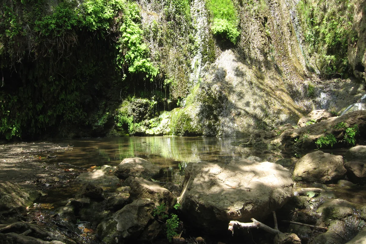
Insider tip. Time it for the weeks after a winter storm. MRCA notes the falls run thin or dry in dry weather.
Bluffs, ridges and Catalina on the horizon, on the peninsula most of LA forgets to hike.
10
Ocean Trails Reserve
Rancho Palos Verdes · About 3 mi round trip · Moderate to strenuous
Public lotsAbout 3 mi round tripSteep to the beach
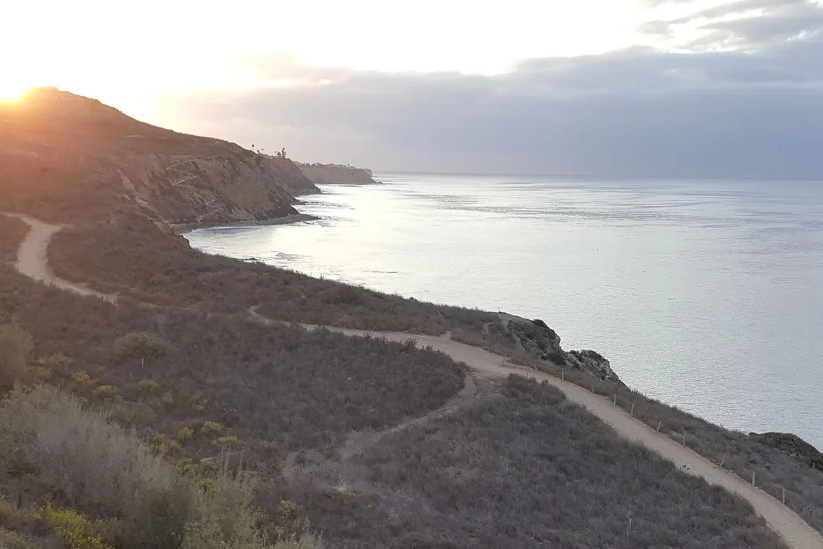
Bluff-top trails above the Pacific with Catalina on the horizon and switchbacks down to a rocky beach. Park in the public lot at the end of Trump National Drive or at La Rotonda Drive.
The reserve is open from an hour before sunrise to an hour after sunset. The public lot has restrooms and a drinking fountain, with picnic space next door at Founders Park.
Insider tip. The city has closed the Catalina Trail and its bridge indefinitely for a geologic hazard, along with the Coastal Switchback and part of the East Boundary Trail. Check the trail map first.
Rancho Palos Verdes · About 1.25 mi loop · Easy to moderate
Free street parkingAbout 1.25 mi loopabout 325 ft
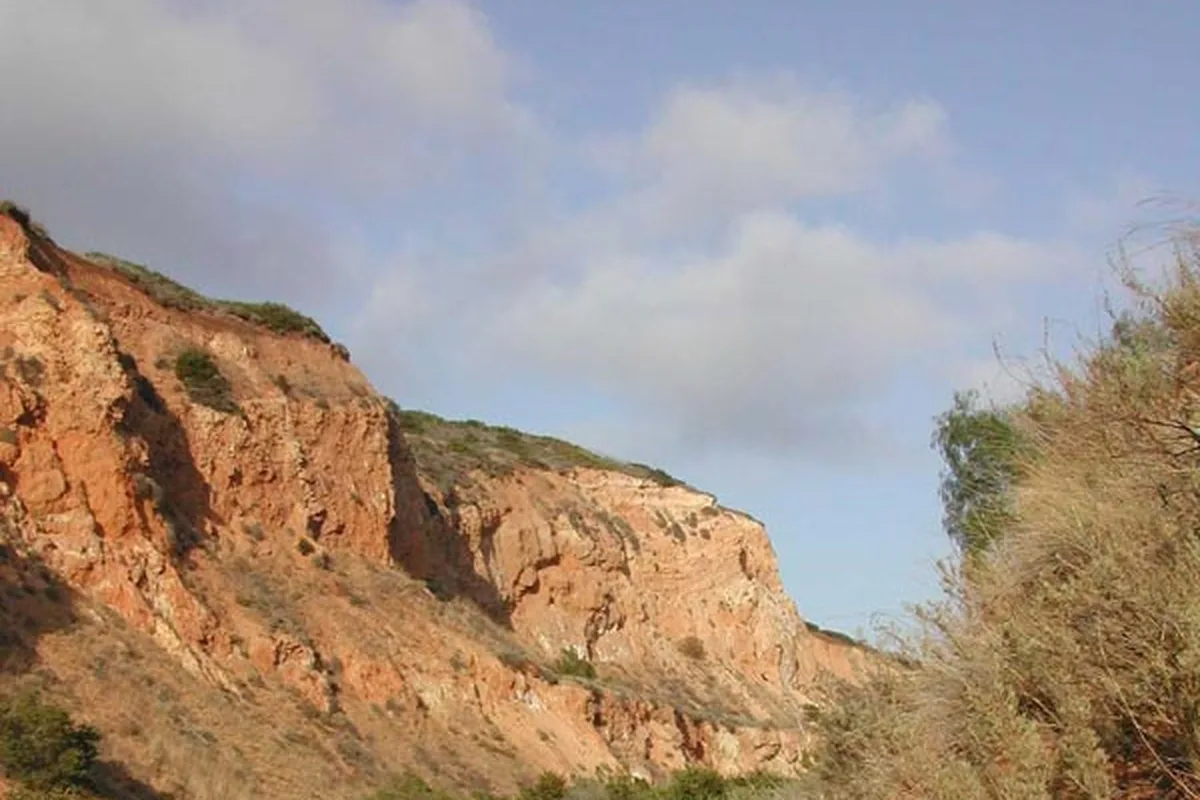
A former quarry bowl at the top of Forrestal Drive, with red cliffs, coastal sage and, from the high point, the coastline and Catalina.
Park free on Forrestal Drive south of the Ladera Linda driveway. Leashed dogs are allowed. The city has several trails temporarily closed, including a segment of the Conqueror Trail.
Insider tip. Loop it clockwise so the steep Pirate Trail is a descent, and pair it with another Palos Verdes reserve to make a morning of it.
Short climbs, big skylines, and you can be back on Sunset for lunch.
13
Baldwin Hills Scenic Overlook
Culver City · About 2 mi round trip · Short but steep
$6 a day at the topAbout 2 mi round trip282 steps
The Culver City Stairs, 282 steps straight up from Jefferson Boulevard, with a mile-long trail zigzagging beside them for the way down.
At the top: the LA Basin, the ocean and the mountains in one panorama. The park opens at 8am and closes at sunset; the top lot is $2 an hour or $6 a day.
Insider tip. Go up the stairs and down the switchbacks; your knees will thank you. Clear winter days after rain give the longest views.
Minutes from Hollywood Boulevard, the fire road and East Trail climb to views of the Hollywood Sign, the downtown skyline and, on clear days, the ocean.
Open sunrise to sunset, street parking only, and dogs can run off-leash in the designated areas. There are no restrooms.
Insider tip. The city's park page still lists the West Trail as closed, so plan the fire road and East Trail. Weekday sunrise is the quiet window.
Will Rogers State Historic Park reopened in November 2025 after the Palisades Fire, and the Inspiration Loop climbs from the polo field to a panorama over Santa Monica Bay and the city.
The park is open 8am to sunset, and parking is $12 a day or $3 an hour. Dogs must be leashed and are not allowed on the Backbone Trail.
Insider tip. State Parks says the loop is only partly open, with intermittent closures for trail work, and the Backbone connector is still closed. Follow the posted route to the point.
Pacific Palisades · About 1.2 mi round trip · Easy to moderate
$12 parkingAbout 1.2 mi round tripGentle climb
Temescal Gateway Park reopened on July 17, 2026, after the Palisades Fire. The rebuilt Rivas Canyon Trail reaches two new overlooks, the Allen Bench and the Webster Bench, inside the first half mile.
From the benches you look out over the recovering Palisades toward the bay. Parking is $12 a day and leashed dogs are allowed.
Insider tip. The Temescal Canyon waterfall trail is still closed. For more miles, the Sunset Trail is open up to Temescal Ridge.
Tilted sandstone, a volcanic gorge and two ridgelines with the valley spread out below.
17
Vasquez Rocks
Agua Dulce · 3.4 mi loop · Easy to moderate
On-site lots3.4 mi loopabout 350 ft
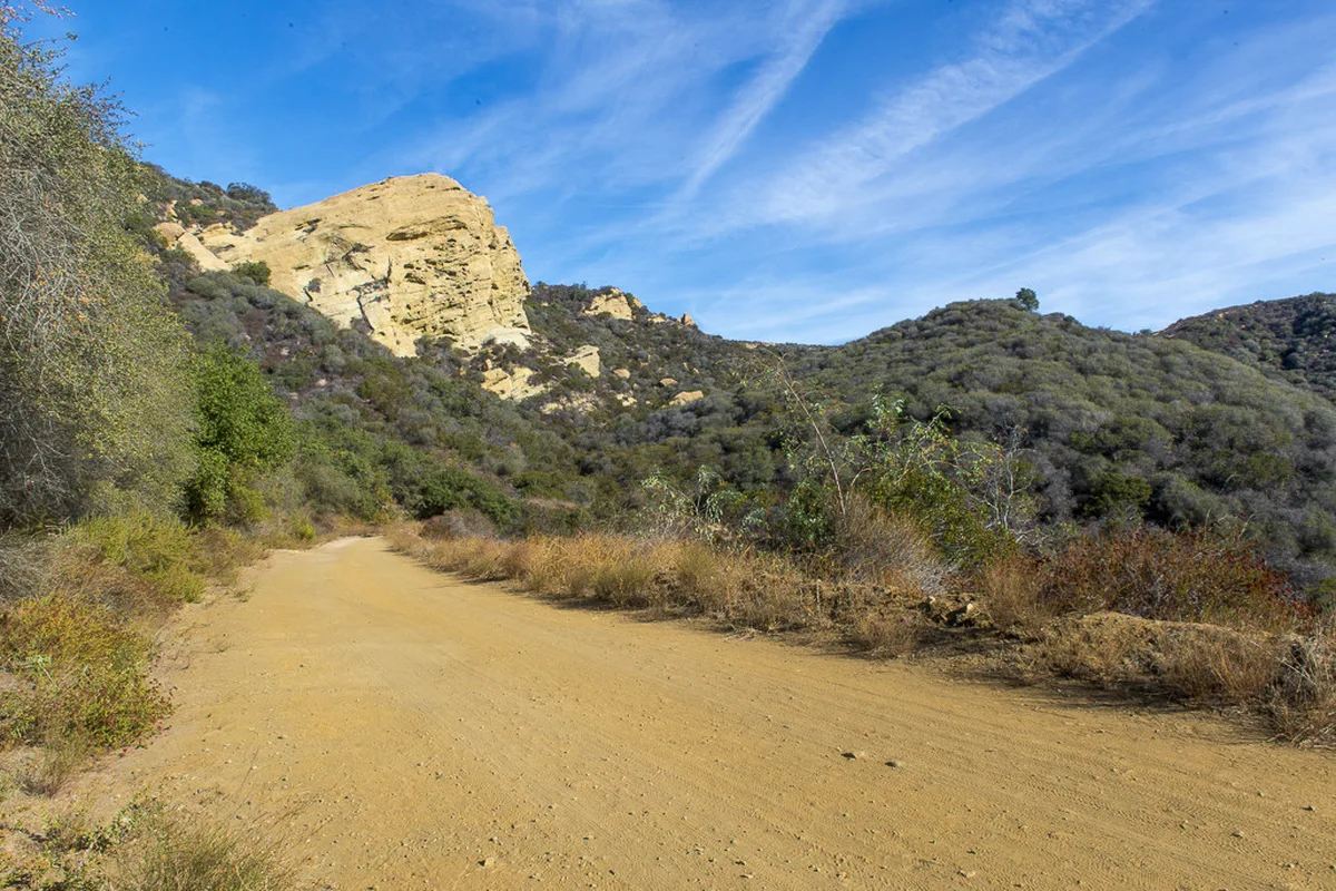
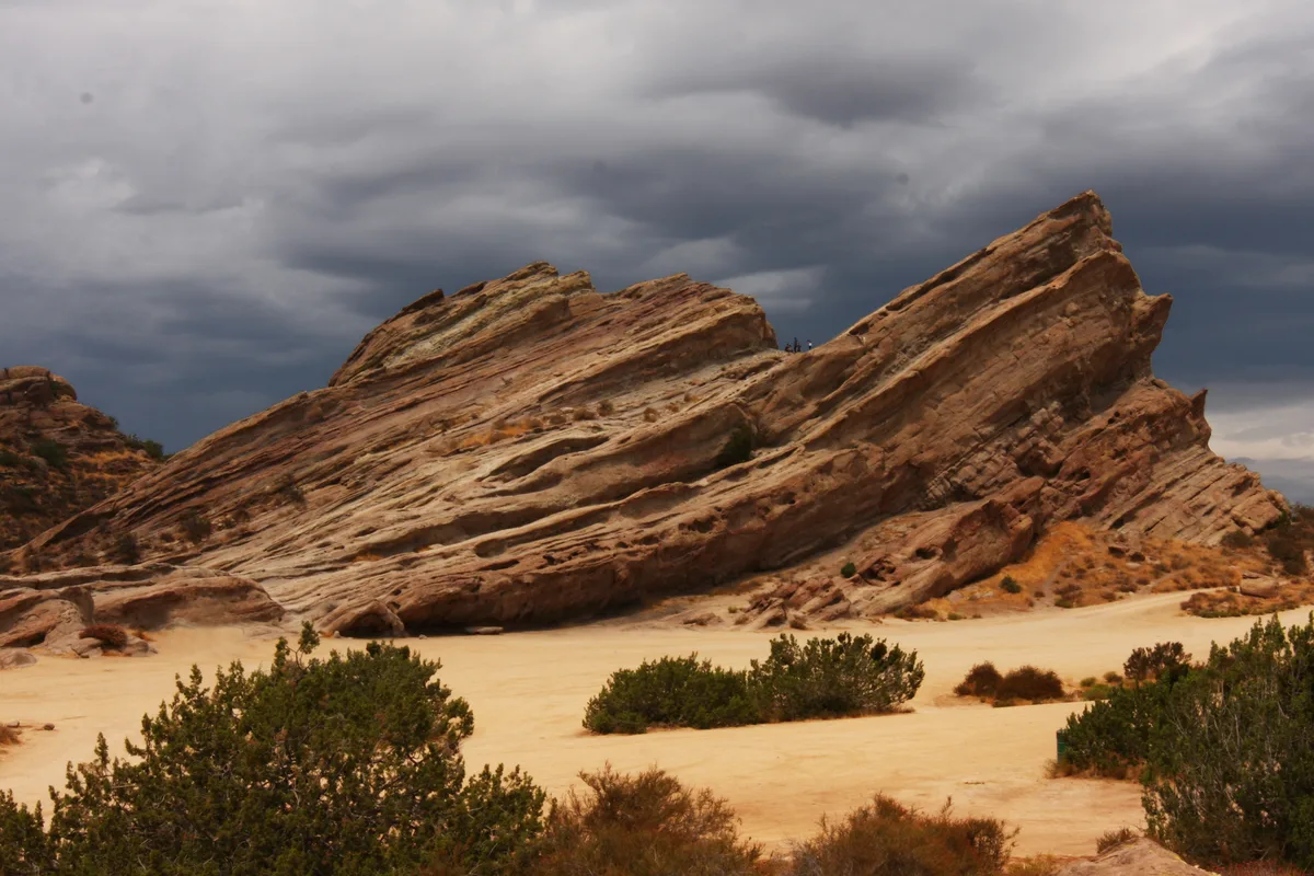
Giant sandstone fins tilted at wild angles, the most famous of them a Star Trek backdrop. The Apwinga Loop circles the park and meets the Pacific Crest Trail on the way.
The park is open sunrise to sunset with on-site lots, and leashed dogs are allowed. Summer runs into the 90s, so this one is a cool-season hike.
Insider tip. Come for late-afternoon light, when the rock glows. If a lot gate is locked, the county lists the Sheriff Parks Bureau at 800-834-0064.
$12 parkingAbout 4.5 to 5 mi round tripUnder 300 ft
Follow Crags Road to the volcanic cliffs above Rock Pool, on past Century Lake to the original M*A*S*H filming site, then turn around. The M*A*S*H bridge went back in this April.
Day-use parking is $12, or $3 an hour, and the lot is open until 10pm. Dogs are not allowed on the trails.
Insider tip. State Parks has the water and restrooms out after a main break, so bring your own. No jumping at Rock Pool; rangers enforce it.
Calabasas · About 4.5 to 5 mi round trip · Easy to moderate
Free parkingAbout 4.5 to 5 mi round tripabout 525 ft
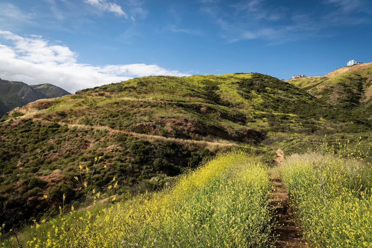
A ridge climb from the corner of Mulholland Highway and Las Virgenes Road to a 360-degree view over Malibu Creek State Park, the Goat Buttes, Saddle Peak and Ladyface Mountain.
The small dirt lot is free, and leashed dogs are allowed. There is no shade.
Insider tip. Turn around at the summit loop. Go in spring, when the hills are green, and go early.
Sandstone Peak. The 6.1-mile loop from Circle X Ranch tops out at 3,111 feet, the highest point in the Santa Monica Mountains, with the Channel Islands, the Oxnard Plain and the open Pacific in view. For a shorter city view, Mount Hollywood from Griffith Observatory is the classic.
What are the best ocean-view hikes near LA?
The Ray Miller Trail at Point Mugu, which keeps the ocean in view nearly the whole climb; the Point Dume headland in Malibu; Corral Canyon and Solstice Canyon off PCH; and, on the Palos Verdes Peninsula, Ocean Trails Reserve and Three Sisters Reserve with Catalina on the horizon.
Are trails in the Santa Monica Mountains open after the 2025 fires?
Most are. Topanga's Eagle Rock loop, Corral Canyon, Escondido Falls and Will Rogers have reopened, and Temescal Gateway Park reopened July 17, 2026. Some trails remain closed, including the Temescal Canyon waterfall trail and parts of Topanga State Park and Will Rogers. Since October 15, 2026, these parks also close on Red Flag Warning days.
Which scenic hikes near LA are easy?
Point Dume, Escondido Falls, the Inspiration Point loop at Will Rogers, the Temescal Rivas overlooks and the Malibu Creek walk to Rock Pool and the M*A*S*H site are all easy. Mount Hollywood and Solstice Canyon are a small step up.
Which LA hikes allow dogs?
Leashed dogs are allowed at Sandstone Peak, Mount Hollywood, Corral Canyon, Escondido Falls, Solstice Canyon (except at the waterfall), the Palos Verdes reserves, Vasquez Rocks, Las Virgenes View and La Tuna Canyon. Runyon has off-leash areas. Dogs are not allowed on the trails at Topanga, Point Mugu or Malibu Creek State Park.
What is the best time of year to hike in LA?
November through April. Temperatures are cooler, the air is clearer after rain, the waterfalls at Escondido and Solstice run, and gray whales pass Point Dume from December to mid-April. Summer hikes should start at sunrise.
The Verdict
Best overall: Sandstone Peak, counterclockwise, on a clear winter morning. Nothing else in LA puts the mountains, the islands and the ocean in one frame.
Best short hike: Mount Hollywood from the Observatory. Under three miles for the Hollywood Sign, downtown and the ocean from the same summit.
Best surprise: Vasquez Rocks. An hour from downtown, and it looks like nowhere else in the county.